
 Russian (Русский)
 Chinese (中文)
20-09-2020, 22:17
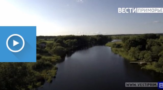
«The history of the region»: Kema - the artery of Primorye’s taiga

Kema river is one of vivid rivers of Primorye’s taiga. Its length is 119 km, almost whole river is located in Terney district. Kema’s source is located in Sikhote-Alin mountains. River’s depth goes up to 3 metres in some areas. During rain seasons the water level of the river can grow up to 5 metres in several hours especially in summertime.
Far Eastern annual extreme sports competition takes place on one of Kema’s rapids.
News source: www.vestiprim.ru
Similar news
-
24.07.2020 «The history of the region»: The power and the spirit of Ussuri river
-

13.10.2019 What Sikhote-Alin Nature Reserve is proud of
-
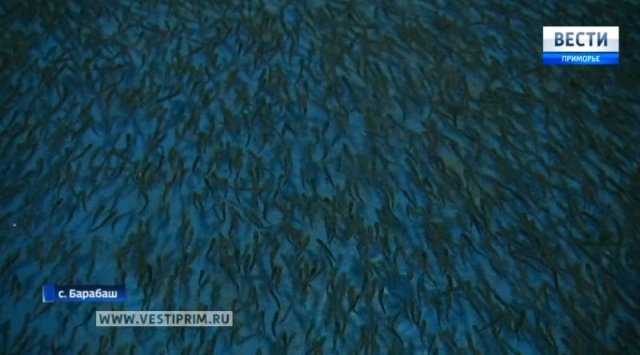
24.05.2019 Five millions chum salmon alevins were released into the Barabashevka River
-
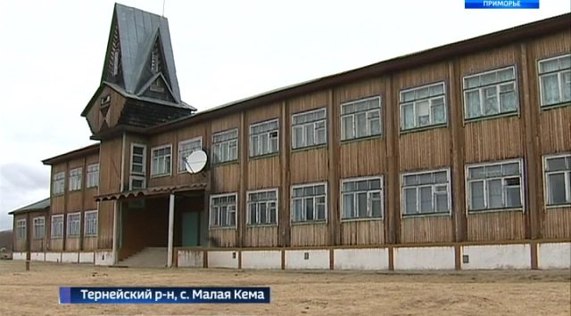
23.03.2017 Qualified education is available to students of Malaya Kema village school.
Add a comment
Last program
-

First year medical university students are studying medicine’s bases
- «Vest: Primorye. Interview»: Primorye residents consume more fish than other residents of Russia
- 13 young specialists started working in outpatient clinics and policlinics of Primorye
- «The Pulse. Healthy Primorye»: feldshers and nurses
- Mysterious Dersu cliff attracts tourists from all over the world
- «The Pulse». The main hospital of Pozharskii area